
AlphaEarth Foundations, created by Google DeepMind, uses AI to turn huge amounts of satellite images into tiny, smart codes called “fingerprints” for every small spot on Earth. This makes it super easy and fast to spot things like forests disappearing or cities growing anywhere on the planet. The system is much more accurate and needs way less storage than old ways, giving nearly instant answers to scientists and researchers. With this tool, people can track changes like floods or farm risks almost as simply as watching a video timeline. Soon, it could even show finer details and update almost in real time, helping everyone understand how our world is changing.
What is AlphaEarth Foundations and how does it revolutionize global environmental monitoring?
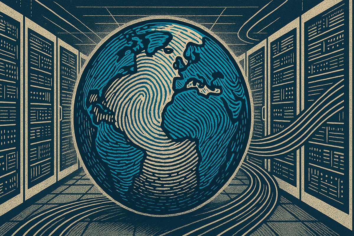
AlphaEarth Foundations, launched by Google DeepMind, uses AI to compress the planet’s satellite data into 64-dimensional “fingerprints” for every 10×10 m pixel annually since 2017. This enables instant, query-ready analysis of environmental changes – like deforestation or urban growth – with higher accuracy and a much smaller data footprint.
Google DeepMind’s newest project, AlphaEarth Foundations, quietly launched on 30 July 2025, is already rewriting the rulebook for global environmental monitoring. Instead of serving up yet another photo-heavy data dump, the system compresses the entire planet into 64-dimensional AI “fingerprints” – one for every 10 × 10 m pixel on land or coastal waters, every year since 2017.
How the magic happens
| Component | Traditional workflow | AlphaEarth approach |
|---|---|---|
| Raw data | Terabytes of optical, radar, lidar, climate layers | Same inputs |
| Pre-processing | Cloud masks, atmospheric correction, mosaicking | Zero manual steps |
| Storage footprint | Full-resolution imagery (petabyte scale) | 16× smaller compressed embeddings |
| First usable result | After weeks/months of prep | Immediately query-ready |
The result is a “virtual satellite” that behaves more like a living database than a static map. Researchers can ask, “Show me every place on Earth whose 2024 fingerprint resembles this patch of newly deforested Amazon” and receive answers in milliseconds without ever touching raw pixels.
Performance snapshot
- 1.4 trillion data footprints per annual layer (2017-2024)
- 24 % lower error rate than prior geospatial AI baselines
- 50+ organizations (from MapBiomas to small NGOs) already testing the embeddings via Google Earth Engine
Because embeddings are temporally continuous, users can interpolate any calendar date, not just year-end snapshots. That makes tracking a sudden dam construction or post-storm coastal erosion almost as easy as scrolling through a time-slider.
What it can spot today
- Deforestation alerts weeks earlier than legacy systems
- Urban expansion patterns across 30,000+ cities simultaneously
- Flood-plain changes after extreme weather events
- Agricultural yield risks down to individual farm plots
Looking ahead: higher resolution and faster cadence
DeepMind’s public roadmap, last updated 31 July 2025, hints at 5- or even 1-meter resolution for targeted regions once sensor supply and AI compression catch up. More frequent updates – potentially near-real-time – are also under active research, leveraging the model’s built-in “continuous time” framework.
Competitive lens
| Provider | Spatial resolution | Update cadence | Strength |
|---|---|---|---|
| *AlphaEarth * | 10 m (global) | Annual (now) / near-real-time (roadmap) | Unified embeddings, smallest storage |
| Microsoft Planetary Computer | Variable | Depends on dataset | Broad API access |
| IBM PAIRS Geoscope | 10 m+ | Daily to hourly | Multimodal fusion dashboards |
| OpenAI geospatial* | 10 m+ | Research phase | Leading generative AI features |
*Details remain limited; collaborations with satellite providers are ongoing.
Ethical radar
- No individual identification: 10 m pixels cannot isolate faces, license plates, or other personal markers.
- Risk of inference: Repeated high-resolution views over time can reveal property-level activity.
- Governance gap: Legal frameworks lag behind the tech, prompting calls for transparent use policies.
For now, AlphaEarth’s dataset is free on Earth Engine and integrated into the new Google Earth AI suite, giving scientists and policy makers a shared, consistent ruler to measure planetary change – without drowning in raw data.
What exactly is an “AI fingerprint” and how does AlphaEarth create one for every 10-meter square on Earth?
AlphaEarth assigns a 64-dimensional numerical vector – the so-called AI fingerprint – to every 10×10 m pixel on the planet. Instead of storing raw satellite photos, the model compresses optical, radar, elevation and climate data into this compact signature. The result: 16× smaller storage than conventional imagery yet 24 % lower mapping error compared with previous geospatial models.
How frequently is the AlphaEarth dataset updated, and can users access it in near-real time?
Right now the public release contains annual embeddings from 2017-2024. DeepMind’s roadmap, outlined in its July 2025 launch post, points to monthly or even weekly refreshes for cloud-free regions as new sensors come online. Early partners such as MapBiomas are already testing “continuous time” interpolation that lets analysts query any calendar date rather than waiting for the next yearly drop.
Who are AlphaEarth’s main competitors and how does it compare?
The primary challengers include Microsoft Planetary Computer, IBM PAIRS Geoscope, OpenAI geospatial models and specialized fleets like Planet Labs. Where AlphaEarth stands out is its unified 64-D embedding – a single mathematical snapshot per pixel – while rivals still rely on separate layers for imagery, radar and climate. This compression plus the 24 % accuracy edge make AlphaEarth the first end-to-end virtual satellite at global scale.
What ethical safeguards exist to prevent misuse of global-scale monitoring data?
DeepMind states the 10-m resolution “cannot identify individual people, faces or objects.” Even so, the company subjects every dataset to tiered access controls on Google Earth Engine, forcing NGOs, researchers and governments to accept usage terms that block individual targeting. The model also strips metadata that could re-identify sensitive locations, and DeepMind says it “will not license data for military or law-enforcement surveillance.”
What future capabilities are on the horizon for AlphaEarth?
By 2026-2027 DeepMind expects to deliver 5-meter or finer resolution for priority regions and to shift from annual to near-real-time updates. Upcoming sensor generations (next-gen Sentinel, commercial constellations) plus AI compression gains should make it possible to refresh forests, flood zones and megacity edges within days of a satellite pass, all while keeping storage footprints flat.


